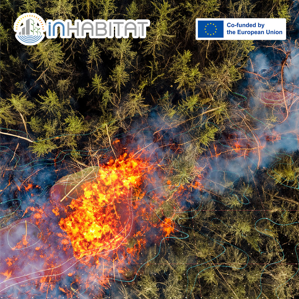
Every summer, maps showing active wildfires and burned areas appear across news reports and online platforms as Europe faces another wildfire season. They provide an immediate visual picture of where fires are occurring and how they are developing.
But have you ever wondered where that information comes from?
Where Does the Wildfire Information Come From?
Behind many of these maps is the European Forest Fire Information System (EFFIS), a component of the Copernicus Emergency Management Service developed by the European Commission’s Joint Research Centre (JRC).
EFFIS brings together satellite observations and geospatial data to monitor wildfires across Europe. The system supports authorities by providing near real-time information on active fires, helping them monitor fire activity, estimate burned areas, and support emergency response.
According to the European Commission’s Joint Research Centre, active fire information is normally updated six times a day and made available within two to three hours of satellite image acquisition. This allows emergency services, public authorities, researchers, and decision-makers to access regularly updated information as wildfire situations evolve.
Monitoring the Entire Wildfire Cycle
The role of EFFIS extends beyond monitoring active fires. The system supports the entire wildfire cycle by assessing fire danger conditions before fires occur, monitoring active fires during an event, and analysing burned areas and vegetation recovery afterwards. This helps build a better understanding of wildfire behaviour while supporting longer-term environmental assessment and future planning.
From Satellite Observations to Practical Information
The large volumes of information collected must also be processed, organised, and analysed before they become meaningful maps and datasets that people can use. Geospatial analysis allows satellite imagery to be combined with other environmental information, helping transform raw observations into practical tools that support monitoring, planning, and decision-making.
Why Geospatial Skills Matter
As environmental challenges become increasingly complex, the ability to work with geospatial information is becoming an important skill across many disciplines, from environmental science and urban planning to disaster risk management and public policy.
Learning Geospatial Technologies through INHABITAT
Within the INHABITAT Project, students explore these technologies through the Remote Sensing and Geodata Management module.
The module introduces students to the collection, processing, and analysis of environmental data obtained from satellites, drones, aircraft, and ground-based measurements. Students learn how geospatial datasets can be retrieved, managed, and analysed using Geographic Information Systems (GIS), and applied to real-world environmental challenges. Through practical projects, they gain experience working with the complete data workflow, from data acquisition and geo-database management to spatial analysis and interpretation.
Understanding how environmental information is collected and transformed into reliable evidence helps future professionals make better-informed decisions. The wildfire maps we see during the summer are just one example of how Earth observation technologies quietly support environmental monitoring and decision-making across Europe every day.
Sources:
- European Forest Fire Information System (EFFIS) – About
- European Forest Fire Information System (EFFIS) – Active Fire Detection
Learn more about the INHABITAT Courses: https://inhabitat.ea.consulting/course/
Funding Agency: EACEA – European Education and Culture Executive Agency
Learn more about INHABITAT: https://www.inhabitatmsc.eu/
101108631 — INHABITAT — ERASMUS-EDU-2022-PI-ALL-INNO
Disclaimer: Funded by the European Union. Views and opinions expressed are however those of the author(s) only and do not necessarily reflect those of the European Union or the European Education and Culture Executive Agency (EACEA). Neither the European Union nor EACEA can be held responsible for them.