
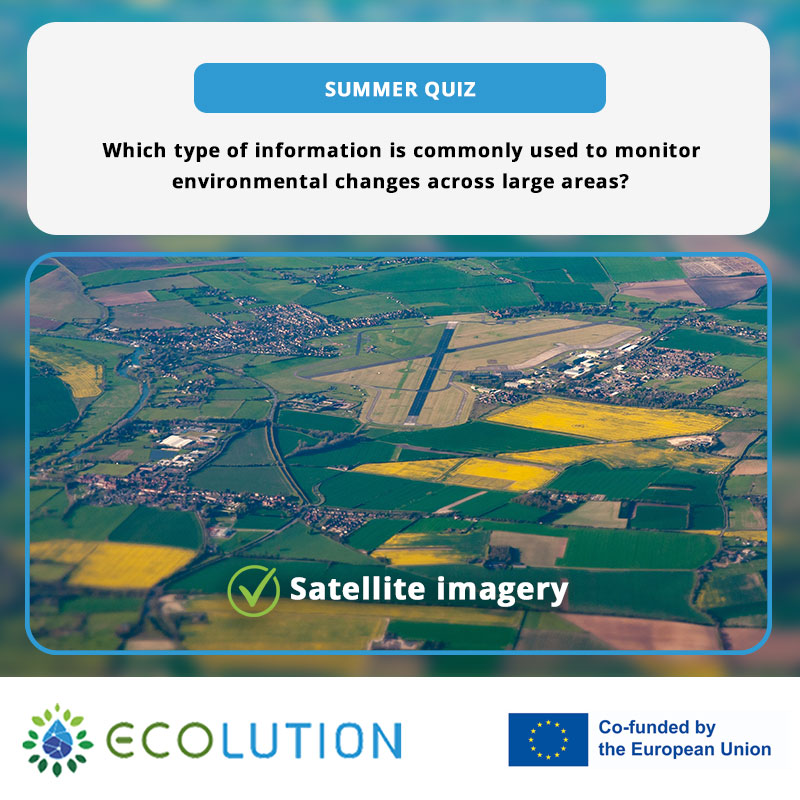
The results of our latest ECOLUTION MSc quiz are in, and our audience clearly knows their environmental monitoring!
We asked:
Which type of information is commonly used to monitor environmental changes across large areas?
The options were satellite imagery, soil samples, weather forecasts, and population surveys. On LinkedIn, Instagram, and X, 100% of participants chose the correct answer: satellite imagery.
But what makes satellite imagery particularly useful when the area being monitored becomes larger?
Seeing Environmental Change at Scale
Environmental change does not always happen in one easily observable location. Changes in vegetation, land cover, agricultural areas, water bodies, or atmospheric conditions can extend across large geographical areas and develop gradually over time.
According to the European Space Agency (ESA), Earth observation from space makes it possible to gather information across both space and time. Satellites can observe large-scale phenomena and collect information about areas that may be remote or difficult to access consistently from the ground.
Repeated observations are particularly valuable. By returning to the same areas over time, satellites provide information that can be compared to identify changes, patterns, and longer-term developments in our environment.
ESA highlights applications including vegetation monitoring, agriculture and resource mapping, air pollution monitoring, natural disasters, atmospheric observations, and the study of gradual environmental and climatic changes.
Source: ESA – What is Earth Observation
Why Not Rely on Ground-Level Information Alone?
The other answers in our quiz were not random. Soil samples, weather information, and population data can all provide valuable insights depending on the environmental question being investigated.
The difference lies in the scale and purpose of the observation.
A soil sample can provide detailed information about conditions at a particular location, while weather information helps us understand atmospheric conditions and patterns. Each source serves a different purpose depending on the environmental question being investigated.
Satellite imagery offers something different: the ability to repeatedly observe extensive geographical areas.
This does not mean that satellite information replaces observations collected on the ground. Different sources of environmental information can complement one another, helping researchers develop a more complete understanding of the systems they are studying.
Collecting the Data Is Only the Beginning
Earth observation produces digital data that needs to be processed and interpreted before useful information can be extracted. Understanding what has changed, where it has changed, and what those changes might mean requires knowledge of geospatial information and appropriate analytical methods.
This is where the connection between Earth observation and geospatial data science becomes particularly important.
Large quantities of spatial information can be transformed into maps, comparisons, and other forms of analysis that help researchers and environmental professionals understand what is happening across a landscape.
The value therefore lies not only in being able to observe the Earth, but also in knowing how to work with the information those observations provide.
Connecting the Quiz to the ECOLUTION Project
These ideas relate directly to the Geospatial Data Sciences – Environmental Informatics course within the ECOLUTION Project.
The course introduces students to the relationship between environmental information and geospatial technologies, helping them develop knowledge relevant to analysing and interpreting environmental data.
This combination of environmental understanding and digital skills reflects the wider approach of ECOLUTION: preparing students to work with technologies and information that can support smarter approaches to environmental sustainability.
Congratulations to Our Quiz Participants!
With 100% of voters on LinkedIn, Instagram, and X choosing satellite imagery, our latest question certainly didn’t manage to fool the ECOLUTION community.
The answer may have been clear to our voters, but the reasoning behind it opens up a much wider topic. Monitoring environmental change requires information at the right scale, collected over time, together with the knowledge needed to interpret what that information is telling us.
Congratulations to everyone who voted, and keep an eye out for the next ECOLUTION MSc quiz!
Funding Agency: EACEA – European Education and Culture Executive Agency
Learn more about ECOLUTION: https://www.ecolutionmsc.eu/
101140050 — ECOLUTION — ERASMUS-EDU-2023-PI-ALL-INNO
Disclaimer: Funded by the European Union. Views and opinions expressed are however those of the author(s) only and do not necessarily reflect those of the European Union or the European Education and Culture Executive Agency (EACEA). Neither the European Union nor EACEA can be held responsible for them.