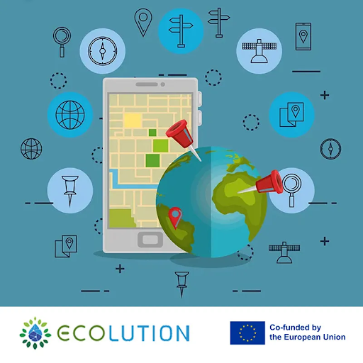
How can we track environmental change from space and on the ground at the same time?
With remote sensing and wireless sensor networks ~ tools that give us accurate, continuous, and connected data for climate, disaster, and agriculture solutions.
⇒ Remote sensing delivers big-picture insights using satellites, aerial imagery, and drones to monitor land use, vegetation, and water resources (Source).
⇒ Wireless sensor networks (WSNs) provide real-time, on-the-ground data, from soil moisture in fields to air quality in cities, helping us respond faster and smarter (Source).
📚 In ECOLUTION Project’s Remote Sensing & Wireless Sensor Networks course, students:
• Learn the principles and applications of remote sensing technologies
• Explore WSN concepts, architectures, and protocols
• Understand how to integrate satellite imagery with ground-level sensors for complete environmental monitoring
• Practice acquiring, processing, and analyzing data from both systems
• Apply knowledge to real-world cases in precision agriculture, environmental protection, and disaster risk management
In simpler terms:
Students discover how to “see the invisible”, using advanced tools to understand what’s happening in our environment, anticipate risks, and design smarter sustainability solutions.
Learn more: https://ecolution.ea.consulting/course/
101140050 — ECOLUTION — ERASMUS-EDU-2023-PI-ALL-INNO
Disclaimer: Funded by the European Union. Views and opinions expressed are however those of the author(s) only and do not necessarily reflect those of the European Union or the European Education and Culture Executive Agency (EACEA). Neither the European Union nor EACEA can be held responsible for them.