“This is an unprecedented event, with about a one-in-1,000 chance of occurring in a given year.”
That is how climatologist Christophe Cassou described the extreme heat that affected parts of France and Western Europe in May 2026.
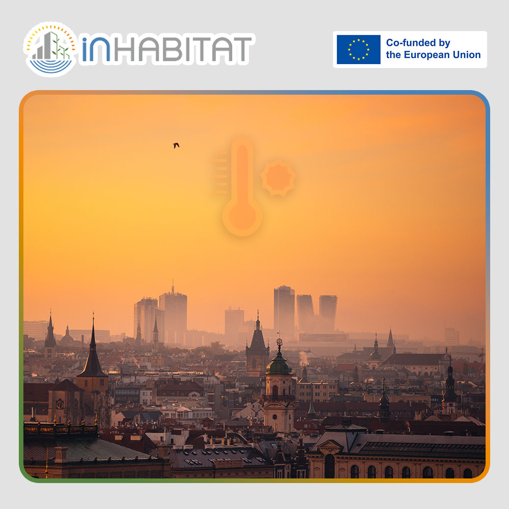
The event attracted significant attention because it arrived unusually early in the year. In parts of Western Europe, temperatures rose 10–15°C above seasonal norms, while the United Kingdom recorded its hottest May day on record at 34.8°C.
These figures are another reminder that European cities are increasingly facing climate conditions that many urban environments were not originally designed to handle.
This raises an important question: how do cities prepare for heat they have not experienced before?
Before city planners can decide where to plant trees, create cooling corridors, redesign public spaces, or improve resilience strategies, they first need to identify where the risks are. Which neighbourhoods experience the highest temperatures? Which areas lack green infrastructure? Which locations are most exposed during prolonged heatwaves? And which populations are most vulnerable?
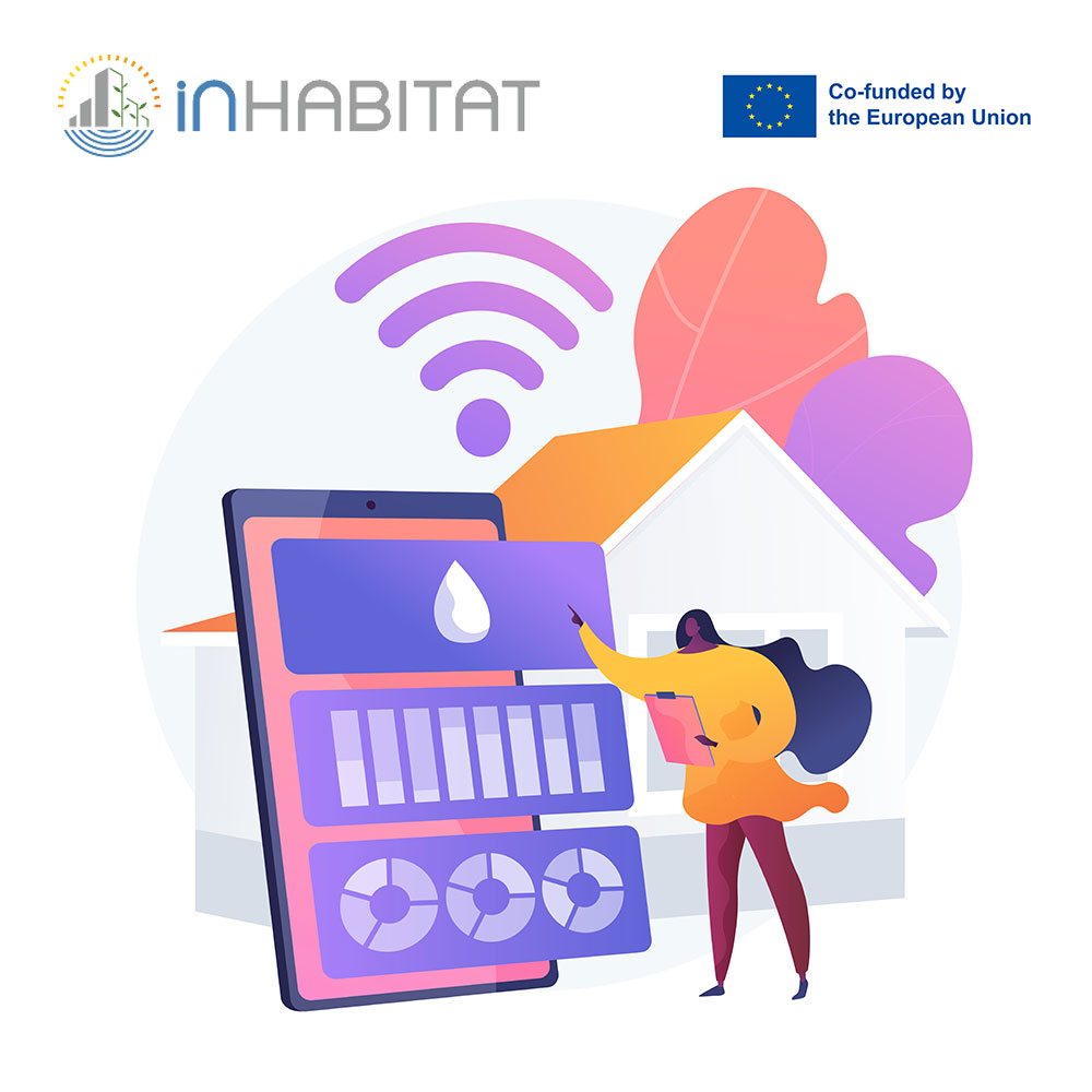
Today, cities increasingly rely on environmental data collected from multiple sources. This can include satellite observations, drones, ground-based sensors, weather stations, and other monitoring technologies. Together, these systems provide large volumes of information about how urban environments behave under different conditions.
However, collecting data is only the first step.
The real challenge is transforming that information into something useful. Environmental data must be organised, processed, analysed, and visualised before it can support decision-making. This is where geospatial analysis becomes particularly valuable.
By combining environmental measurements with geographic information systems (GIS), urban planners and researchers can create detailed maps showing temperature patterns, vegetation coverage, land use, population density, and other factors that influence how cities respond to extreme heat. These tools help identify hotspots, compare different areas, and evaluate where interventions may have the greatest impact.
As climate pressures continue to increase, the ability to interpret and use environmental data is becoming an increasingly important skill across many sectors.
Within the INHABITAT Project, students explore these topics through the Remote Sensing and Geodata Management module.
The module introduces students to the collection, management, and analysis of geo-spatial and environmental data. Working with real-world environmental challenges related to urban planning, students learn how to retrieve and process information from multiple sources, including ground-based measurements, drones, aircraft, and satellite observations such as those provided through the European Earth observation programme, Copernicus.
Students also gain practical experience with data engineering, geo-databases, visualisation tools, and GIS-based analysis. Through problem-based projects, they learn how to move through the entire workflow, from data acquisition and processing to final analysis and interpretation.
The module also explores emerging technologies such as drones and wireless sensing systems, examining how they can support environmental monitoring and sustainable solutions in different sectors.
This combination of environmental science, technology, and spatial analysis helps students understand how data can be used to address complex urban challenges.
As recent heat events across Europe have shown, preparing cities for future climate conditions requires understanding patterns, identifying risks, and using reliable information to support informed decisions.
In that sense, the ability to collect, interpret, and apply environmental data is becoming an essential part of building more resilient cities.
Sources:
Funding Agency: EACEA – European Education and Culture Executive Agency
Learn more about INHABITAT: https://www.inhabitatmsc.eu/
101108631 — INHABITAT — ERASMUS-EDU-2022-PI-ALL-INNO
Disclaimer: Funded by the European Union. Views and opinions expressed are however those of the author(s) only and do not necessarily reflect those of the European Union or the European Education and Culture Executive Agency (EACEA). Neither the European Union nor EACEA can be held responsible for them.